Seville Snapshots: Luarca, Asturias

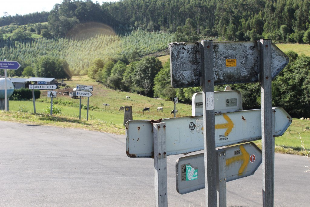
We were faced with a decision that only a pilgrim faces: walk the 1.8 kilometers to an albergue that was rumored to be next to a dairy farm in Almuña, or walk 3km downhill to the town of Luarca.

Duh.

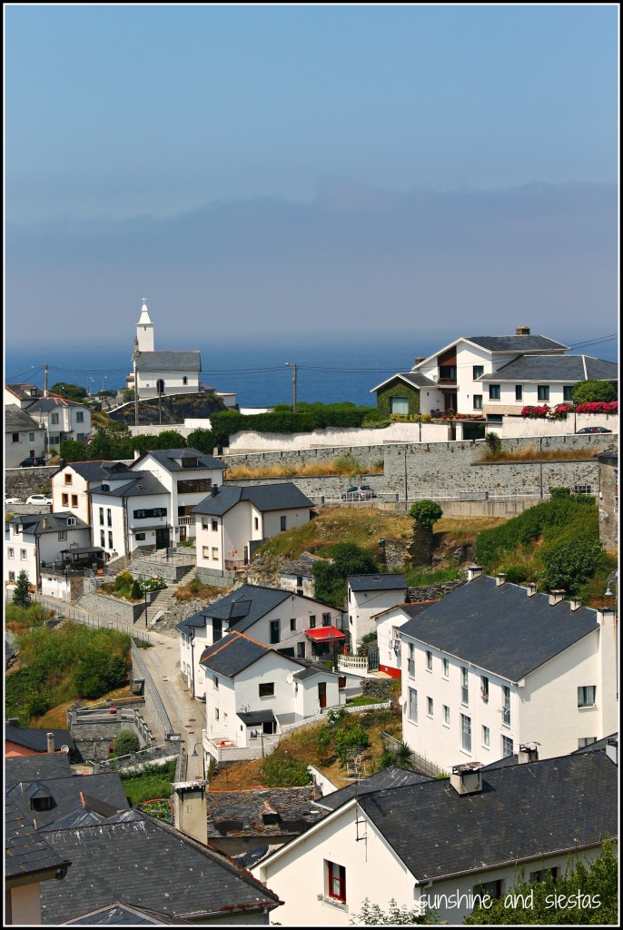
The humble village would house us on the third night of the Camino de Santiago del Norte, a long walk of mostly weaving in and out of the N-634. Billed as one of the most beautiful towns in Spain, I was eager to spend the night on the water, as it would be one of our last.

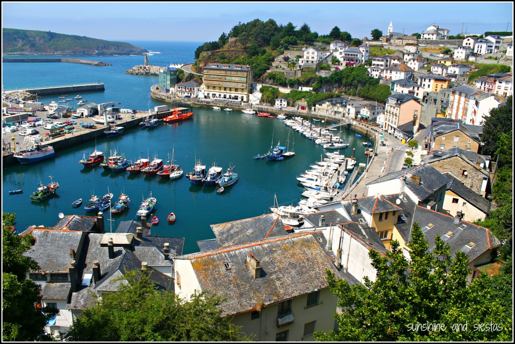
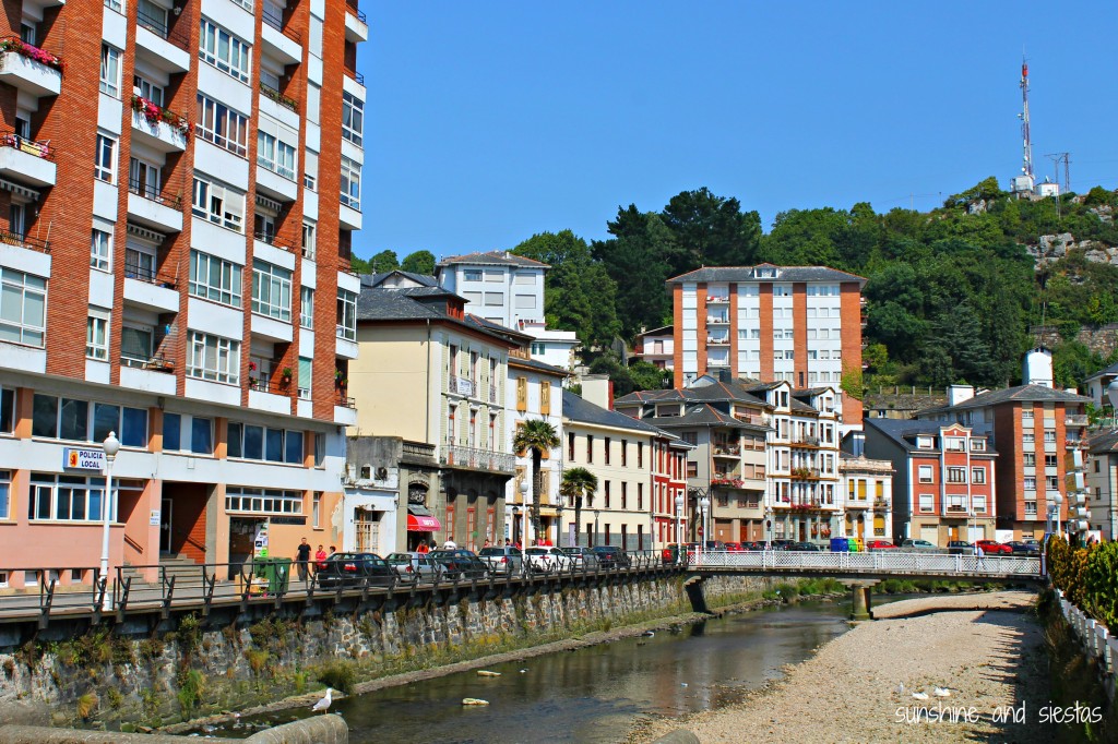
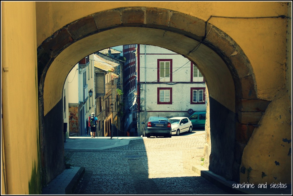
Luarca is stacked above a small inlet on the Bay of Biscay surrounding a port. I imagined quaint fishing boats bobbing along the river Negro and ornate buildings decorating the cobblestone streets and small, tucked-away plazas.

Sadly, the city fell a little flat for me (truth be told, the road into Luarca was more picturesque!). While I could see some charm in the crumbling buildings and the colorful port, Luarca was disappointing both in vistas as in the bustling pueblo I expected to find. I felt a weak city pulse, despite the number of tourists and pilgrims eating al fresco and splashing in the cool, clear water. In its defense, I ate an incredible salad at my pension’s bar on Calle Crucero!

Think I’m full of it? Christine in Spain was there earlier this summer and had loads of things to say! Have you ever had expectation of a city or place, only to have them fall short?

Thanks again to my trip sponsors – Caser Expat Insurance, Podoactiva, Books4Spain, Your Spain Hostel and Walk and Talk Chiclana. 
Seville Snapshots: Waymarkers on the Camino de Santiago

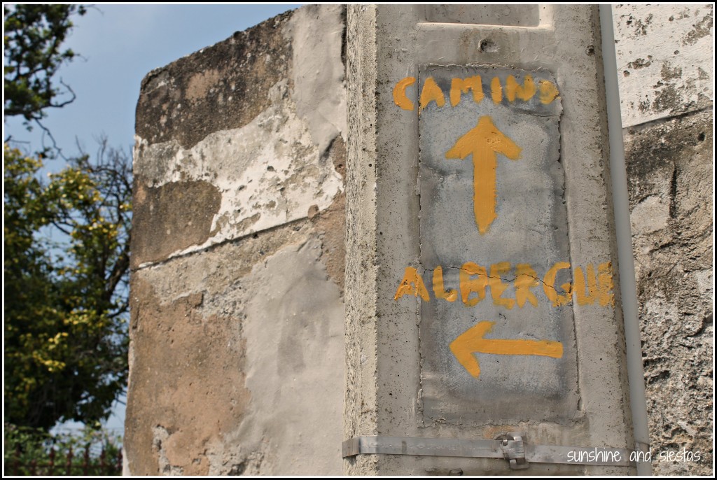
My flashlight bounces off the ground, searching fanatically for a spray painted yellow arrow on anything – a rock, a tree trunk, an abadoned church. It isn’t even 6am yet, and the rain drives down steadily as we pad silently down the N-634 towards Miraz, where we’d spend the night.

Hayley spots the road marker up ahead, just off the highway. The stone obelisk is worn, and the plaque the kilometers to Santiago, long stolen. The mythic 100-kilometers-to-Santiago mark (the minimum distance to get the Compostela) is barely visible between the rain drops and the darkness, but it takes us off the highway and into a dense ecualyptus forrest.

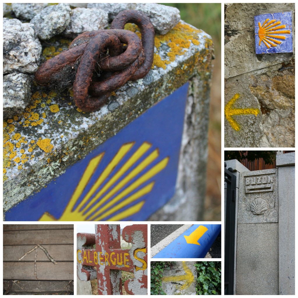
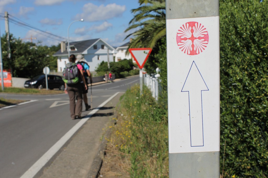
These road markers – but way of yellow arrow, blue and yellow tiles adorned with a scallop shell or even sticks stuck together whenever the former lacked – lead us all the way from Avilés to Santiago de Compostela, 326 kilometers along the Northern coast of Spain. Sometimes we’d had to use our gut, keeping the ocean always on our right, and the relief of coming upon the next one flooded our consciousness more than once a day. The ancient pilgrims used stars, but we got to use the fabled way markers to make our way to the Obradoiro.

Between Asturias and Galicia, the two autonomous communities we passed through, the road markers changed. In Asturias, where we found the markers to be further and further apart, the ridges of the seashells converged at a point, and this was the way to turn. In Galicia, the opposite was true, and the kilometers were marked near the bottom of the base. This was both motivating and discouraging.

Within cities, the waymarkers sometimes became gold-plated shells on buildings and the sidewalk, or even stickers, such as in the town of Figueras. Still, we only got lost twice, arriving to Santiago on August 11th with enough time to pose in front of the monstrous cathedral, bask in the late morning sunlight and get to pilgrims mass to really rid ourselves of sin (it lasted about five minutes, after which we needed a glass of wine).

Does the Camino de Santiago pass thru your city or town? What are the waymarkers like? To see more pictures, direct yourself to my flickr page.

Related Posts Plugin for WordPress, Blogger...